HARD ENDURO SLOVAKIA · REAL TERRAIN STUDY
GELNICA / SUPPLIED GPX
HES / 27
DISTANCE
—
ASCENT
—
ELEVATION
—
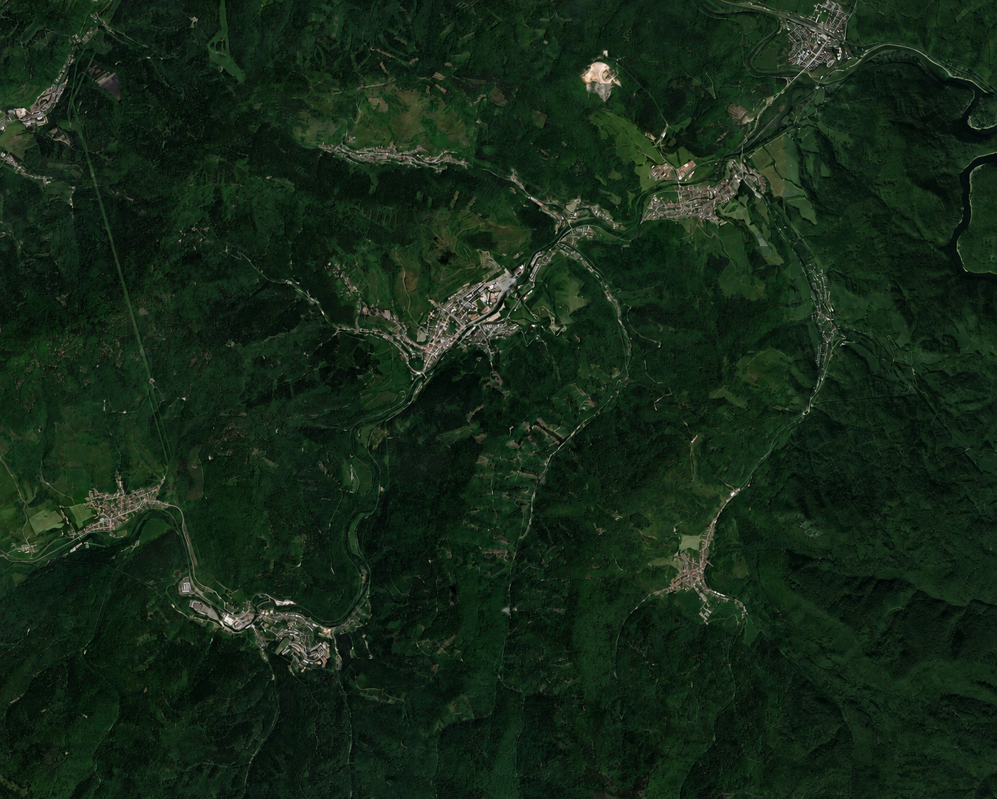
Hard Enduro GPX route over real terrain around Gelnica
The supplied GPX shown as one continuous, subtly smoothed trajectory over Copernicus GLO-30 relief and twenty metre contours.
GELNICA
N
COPERNICUS GLO-30 · 20 M CONTOURS
SAT
TOPO
+
−
0.0 KM · — M
48.000000° N · 20.000000° E
Elevation profile of the continuous GPX route
A terrain-derived elevation profile connected to the moving point on the map.
REAL RELIEF · COPERNICUS DEM GLO-30 / 30 M
ONE CONTINUOUS ROUTE · — GPX POINTS